Latitude/Longitude on Charts: Decimal Degree Conversion Trick
Degrees-minutes-seconds vs decimal degrees confuses everyone. Here's how to convert between them and why it matters for drone pilots.
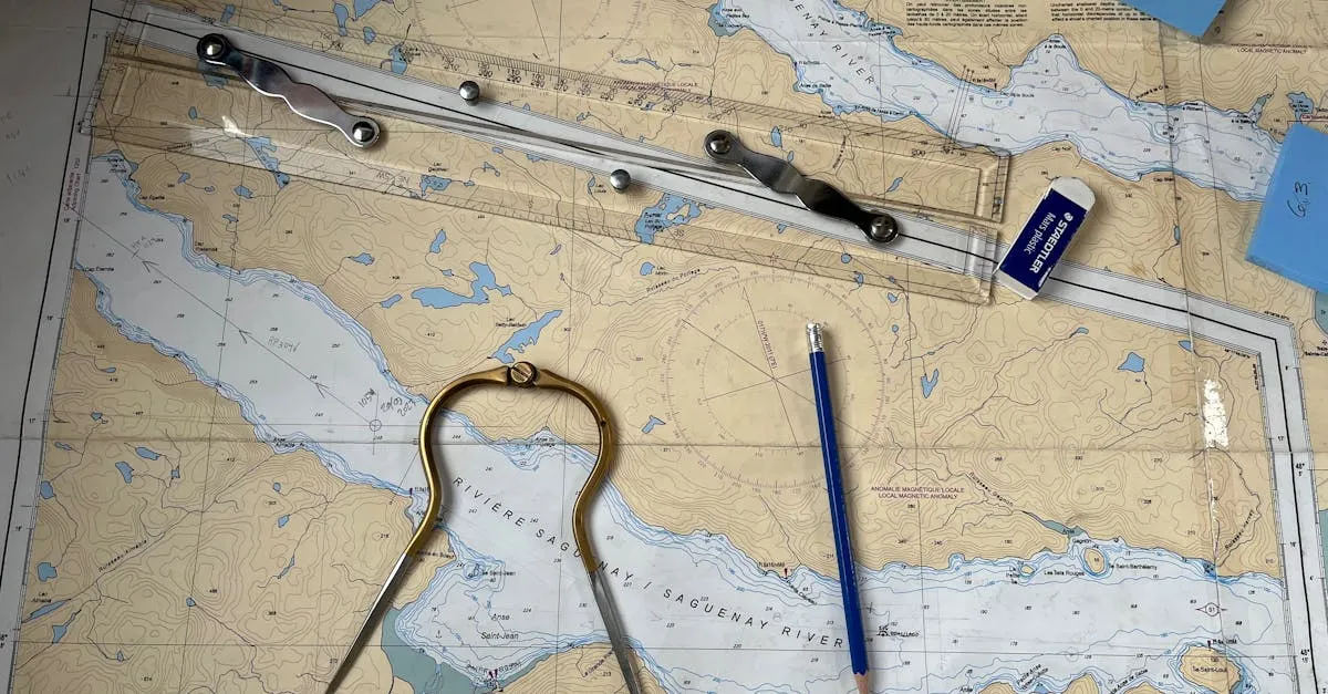
Drone pilots must convert between degrees-minutes-seconds (DMS) and decimal degrees (DD) coordinate formats. Sectional charts use DMS while drone apps use DD, and mixing them up can lead to airspace violations. The conversion trick: divide minutes by 60 and seconds by 3600, then add both to the degrees.
When studying for your Part 107 test, you’ve probably stared at a sectional chart and felt overwhelmed. Along the edges of the map are numbers that pinpoint exactly where you are. The tricky part? Sectional charts speak one language, but your drone apps speak another.
Latitude: The Rungs of the Ladder
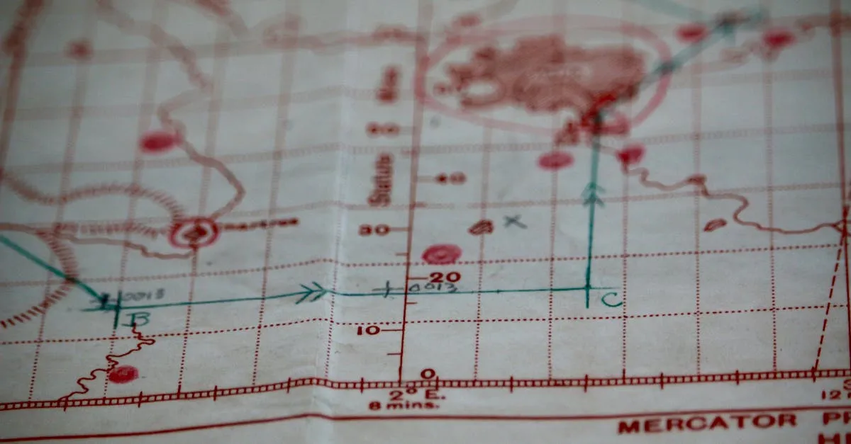
Latitude lines run horizontally across your sectional chart — these are called parallels. They measure distance north or south of the equator. The equator is zero degrees. As you move toward the North Pole, numbers increase to 90 degrees.
An easy way to remember: think of a ladder. The rungs go across, just like latitude lines.
Longitude: The Vertical Lines
Longitude lines run vertically from top to bottom — these are meridians. They measure distance east or west of the Prime Meridian in Greenwich, England (zero degrees). Moving west across the US, numbers increase. The West Coast sits around 120 degrees West.
The Two Formats That Confuse Everyone
Sectional charts use degrees-minutes-seconds (DMS). Think of it like telling time: 60 minutes in a degree, 60 seconds in a minute. A coordinate might read: 38 degrees 45’ 30” N (38 degrees, 45 minutes, 30 seconds North).
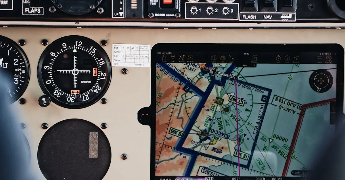
But drone apps — LAANC grids, DJI Fly, Google Maps — use decimal degrees (DD). That same location becomes 38.758333.
Why This Matters
Mix up formats and you could put yourself in the wrong airspace. NOTAMs and TFRs publish coordinates in DMS. If you type those directly into your drone app, it drops a pin in the wrong location — or rejects the input entirely.
The Conversion Trick
Remember two division facts: divide minutes by 60, divide seconds by 3600.
Example: A TFR boundary is listed as 34 degrees 12’ 18” N.
- Degrees: 34
- Minutes: 12 / 60 = 0.20
- Seconds: 18 / 3600 = 0.005
- Decimal degrees: 34 + 0.20 + 0.005 = 34.205
That’s it. Type 34.205 into your app and you have the exact right spot.
Going the other direction? Take the decimal part, multiply by 60 for minutes, then multiply the remaining decimal by 60 for seconds. But as a drone pilot, you’ll almost always go from chart format to app format — so just remember divide by 60 and divide by 3600.
How Much Ground Does One Degree Cover?
Latitude: One degree always equals about 69 miles, whether you’re in Florida or Alaska.
Longitude: This varies because meridians squeeze together at the poles. At the equator, one degree of longitude is also about 69 miles. In Seattle (~47 degrees north), it’s only about 47 miles. This is why grid squares on sectional charts look stretched and tall the further north you go.
Knowing how to read coordinates on a chart and convert them to the decimal degrees your tablet expects keeps you out of restricted airspace, ensures LAANC authorizations match your actual flight area, and makes pre-flight planning way less stressful.
Frequently Asked Questions
Why do drone pilots need coordinate conversions? Sectional charts display DMS format, but drone apps like LAANC and DJI Fly require decimal degrees. Entering the wrong format could place you in restricted airspace.
How do I convert DMS to decimal degrees? Divide minutes by 60, divide seconds by 3600, and add both results to degrees. For example, 34 degrees 12 minutes 18 seconds becomes 34 + 0.20 + 0.005 = 34.205.
What’s the difference between latitude and longitude? Latitude lines (parallels) run horizontally measuring north/south of the equator. Longitude lines (meridians) run vertically measuring east/west of the Prime Meridian in Greenwich, England.
Does one degree cover the same distance everywhere? One degree of latitude always equals about 69 miles. One degree of longitude varies from 69 miles at the equator to roughly 47 miles at Seattle’s latitude because meridians converge at the poles.
How can I remember which direction latitude lines run? Think of a ladder. The rungs go across horizontally, just like latitude lines. This mnemonic helps you remember latitude measures north or south of the equator.
When will I use this conversion as a drone pilot? When checking NOTAMs and TFRs, which publish boundaries in DMS format. Converting to decimal degrees ensures your LAANC authorization matches your actual flight area. Our free Part 107 Course covers sectional charts, coordinates, and every other chart topic on the exam.