Tag: photogrammetry
4 articles
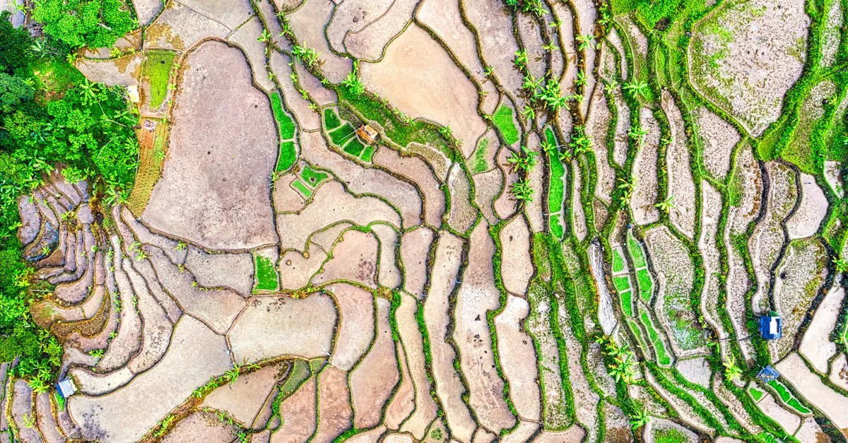
⏱ 9 min read
Drone Survey Project Workflow: Brief to Deliverables
A step-by-step walkthrough of a professional drone survey project. Nine steps from first client conversation to final delivery.
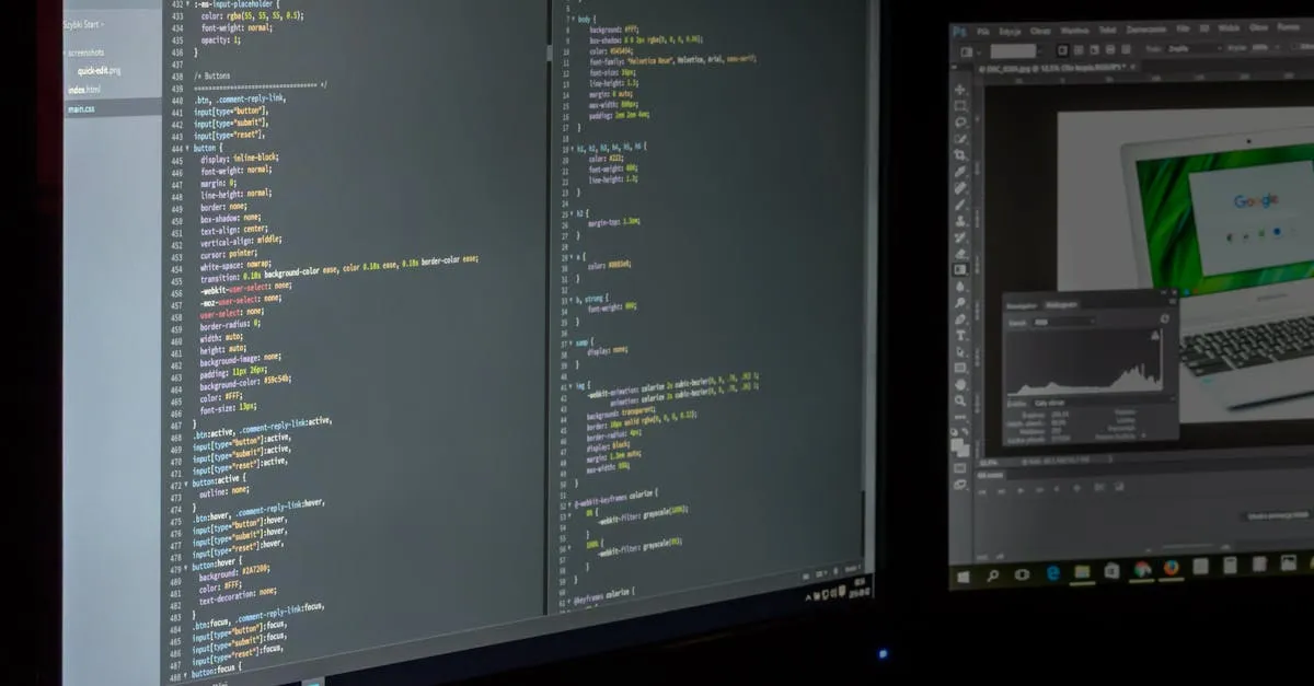
⏱ 4 min read
Drone2Map vs. DroneDeploy: Which Should You Choose?
Comparing the two most popular drone mapping platforms for photogrammetry, orthomosaics, and 3D modeling.
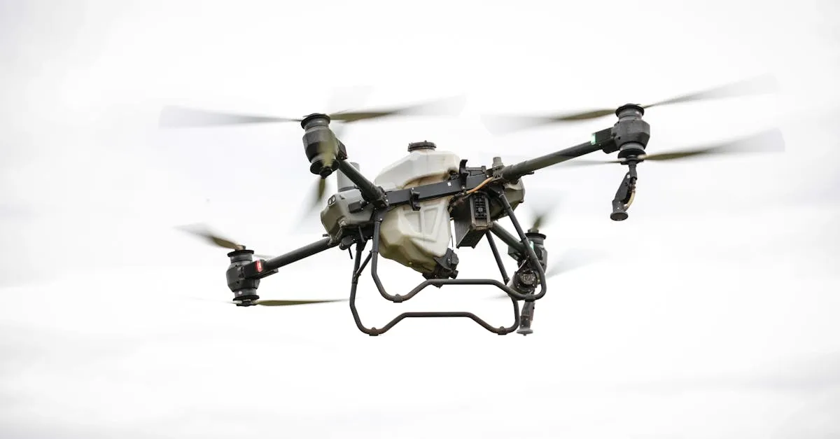
⏱ 5 min read
Drone Mapping for Beginners: The Photogrammetry Guide
Photogrammetry turns hundreds of drone photos into accurate 3D models and maps. Here's how the process works from start to finish.
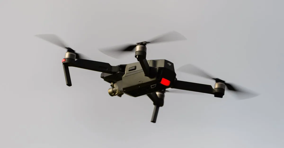
⏱ 3 min read
Drone Surveying vs Mapping: What's the Difference
Surveying is measurement-focused. Mapping is visual representation-focused. They overlap but serve different purposes — here's exactly where the line is drawn.