Drone Mapping Accuracy: How to Achieve Survey-Grade Results
Standard GPS gives you meters of error. Survey-grade mapping needs centimeters. Here's how RTK, PPK, and GCPs get you there.
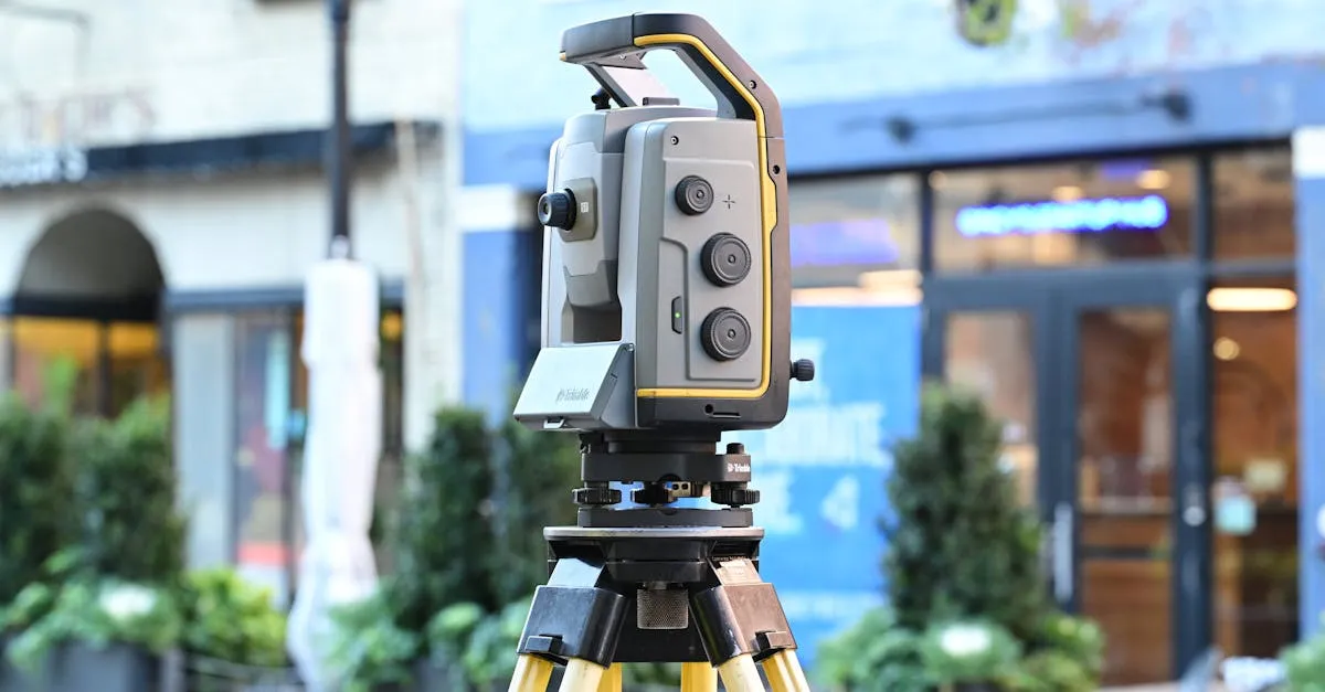
Standard drone GPS suffers from 1-5 meters of error, unsuitable for precise surveying. To achieve centimeter-level accuracy, professionals use RTK or PPK correction technologies. Both use a base station to eliminate satellite errors, either in real-time or during post-processing, delivering survey-grade results.
The true value of a drone map relies entirely on its spatial accuracy. If you can’t trust the measurements from your orthomosaics or 3D models, the data is useless for engineering or legal purposes.
The Problem with Standard GPS
Standard drone GPS has a 1-5 meter error margin. Fine for navigating a car or casual photography, but a dealbreaker for survey-grade work where centimeter precision is required. This error comes from atmospheric interference, satellite orbital variations, and signal bounce off terrain or buildings.
RTK: Real-Time Kinematic
RTK uses a base station set up over a known coordinate on the ground. As your drone flies, both the drone’s receiver and the base station observe the same satellites. The base station calculates the exact error in the satellite signals and transmits real-time corrections to the drone via radio or cellular link.
Result: 1-3cm horizontal and 3-5cm vertical accuracy in real-time during flight. You can verify precision on your controller before leaving the field.
Limitation: Requires a constant radio link between base station and drone — challenging in rugged terrain, dense urban areas, or over long distances.
PPK: Post-Processed Kinematic
PPK applies corrections after the flight rather than during it. The drone logs raw satellite data to onboard storage — no live link needed. After landing, you combine the drone’s raw data with data from a local base station or CORS network using post-processing software on your computer.
The same 1-3cm horizontal / 3-5cm vertical accuracy as RTK, but without the connectivity requirement. PPK shines where radio interference is high or line-of-sight is impossible.
RTK vs PPK: When to Use Each
Choose RTK when you need to verify accuracy on-site before leaving, or for time-sensitive projects requiring immediate data delivery.
Choose PPK in environments with radio interference, urban canyons, or remote locations where maintaining a radio link is impractical.
Both technologies dramatically reduce reliance on Ground Control Points, saving hours of manual field labor.
Accuracy Comparison
| Feature | Standard GPS | RTK | PPK |
|---|---|---|---|
| Accuracy | 1-5 meters | 1-3 cm H / 3-5 cm V | 1-3 cm H / 3-5 cm V |
| Corrections | None | Real-time | Post-flight |
| Connectivity | None | Radio/cellular link | None in field |
| Hardware | Built-in receiver | Base station + rover | Base station + rover |
| GCPs needed | Many | Few or none | Few or none |
| Best environment | Non-critical work | Open sky, clear LOS | Any environment |
Equipment Needed
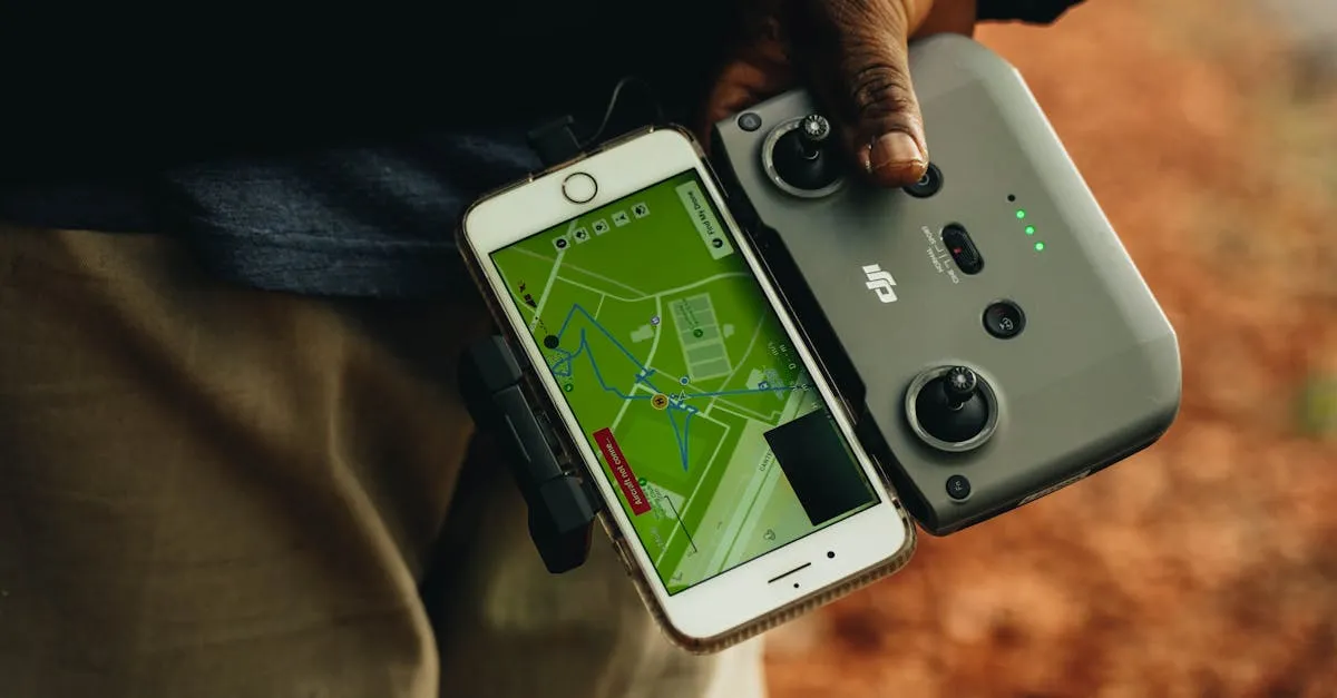
- RTK drone (DJI Matrice 4E RTK — successor to the discontinued Mavic 3 Enterprise) or standard drone + RTK module
- Base station (Emlid Reach RS2+, DJI D-RTK 2) set up over known point
- Radio link (for RTK) or just raw data logging (for PPK)
- Post-processing software (for PPK): Emlid Studio or RTKLIB
GCPs: Still Your Safety Net
Even with RTK/PPK, placing 3-5 GCPs as verification checkpoints is best practice. They confirm your accuracy and provide documented proof for clients. Think of them as quality control, not primary positioning.
Frequently Asked Questions
What causes standard drone GPS inaccuracy? Atmospheric interference, satellite orbit variations, and signals bouncing off terrain or buildings. These combine for 1-5 meters of error, making basic GPS unreliable for engineering work.
How does RTK correct drone positioning? A base station over a known ground coordinate observes the same satellites as the drone, calculates exact signal error, and transmits corrections via radio or cellular link for immediate 1-3cm horizontal precision.
Why choose PPK over RTK? PPK doesn’t require a live radio connection during flight, ideal for rugged or urban environments with interference. Raw satellite data is combined with base station data later on a computer.
Are GCPs still necessary with RTK/PPK? Three to five GCPs are still best practice as verification checkpoints. They confirm data precision and provide documented proof for clients as quality control.
What hardware is required for RTK mapping? An RTK-enabled drone or standard drone with compatible RTK module, a base station like the Emlid Reach RS2+ over a known point, and a reliable radio link for corrections.
What software processes PPK data? Popular free options include Emlid Studio and RTKLIB. These combine drone-logged data with base station records to calculate precise corrections after the flight.
Survey-grade accuracy opens doors to lucrative contracts in civil engineering, mining, and land development. Learn the complete workflow in our free Drone Mapping course.