Tag: mapping
11 articles
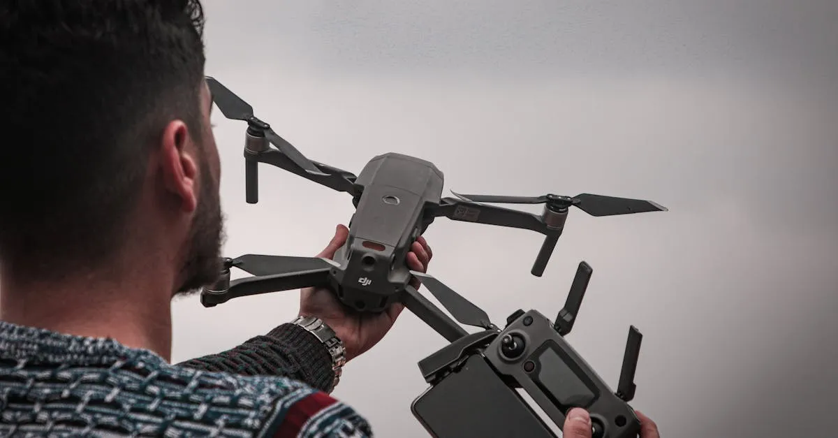
7 Ways to Make Money with Your Drone in 2026
From real estate to roof inspections to social media content, here are seven proven income streams for Part 107 certified drone pilots.
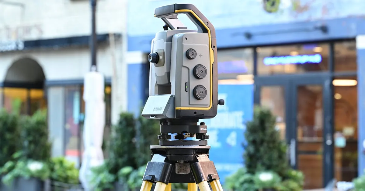
Drone Mapping Accuracy: How to Achieve Survey-Grade Results
Standard GPS gives you meters of error. Survey-grade mapping needs centimeters. Here's how RTK, PPK, and GCPs get you there.
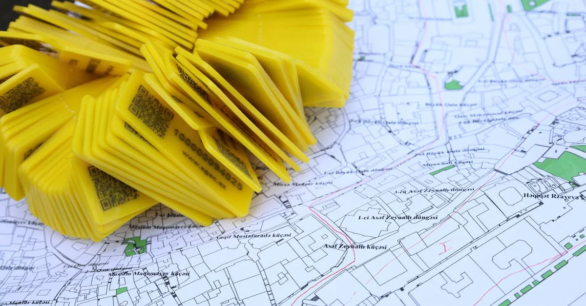
QGIS for Drone Pilots: How to Process Mapping Data
QGIS is free, powerful, and perfect for drone mapping data. Here's how to import, analyze, and export your orthomosaics.
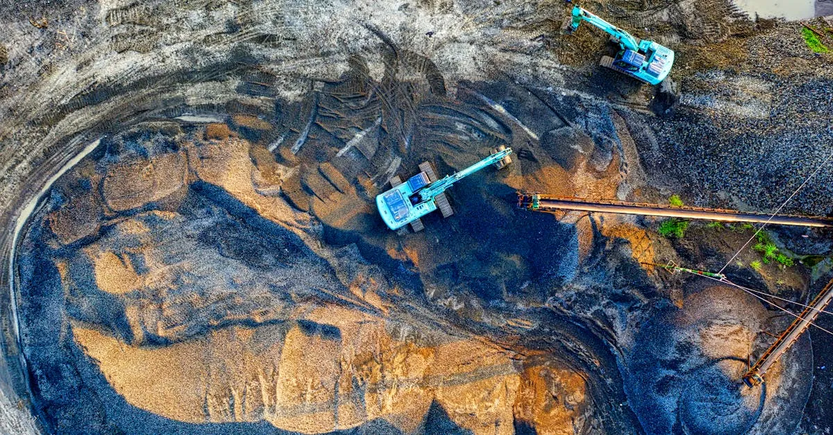
Drone Volume Calculations: How to Measure Stockpiles
Drones measure stockpiles faster, safer, and more accurately than ground surveys. Here's how volumetric calculations work.
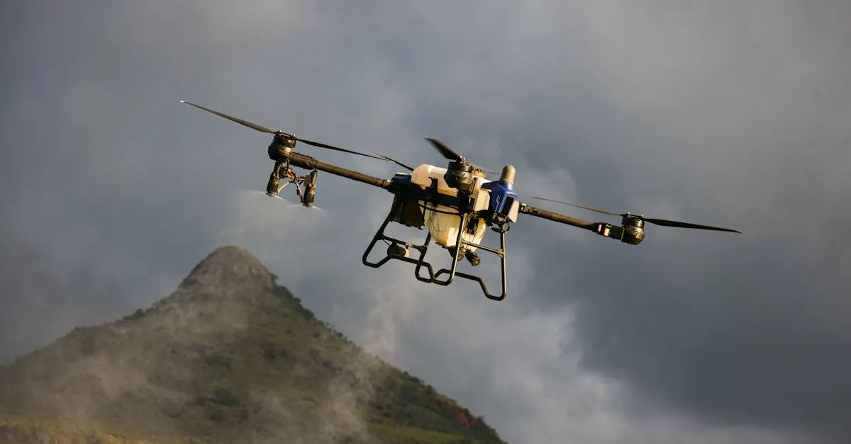
How to Create Orthomosaics from Drone Photos: Step-by-Step
Turn hundreds of drone photos into one seamless, distortion-free map. Here's the complete orthomosaic creation workflow.
Pix4D vs DroneDeploy vs WebODM: Best Mapping Software Compared
Three mapping platforms, three very different approaches. Here's how to choose the right photogrammetry software for your needs.
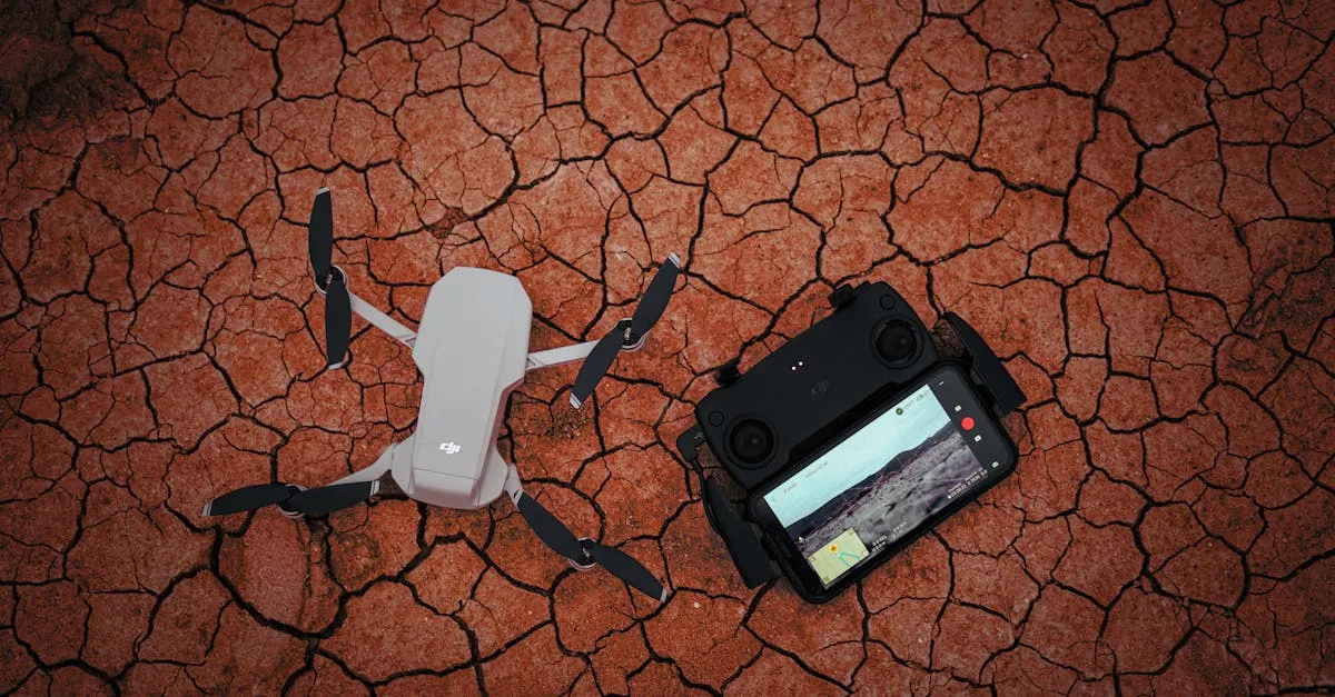
Ground Control Points Explained: Why GCPs Matter
Without ground control points, your drone map is just a pretty picture. Here's why GCPs are essential for survey-grade accuracy.
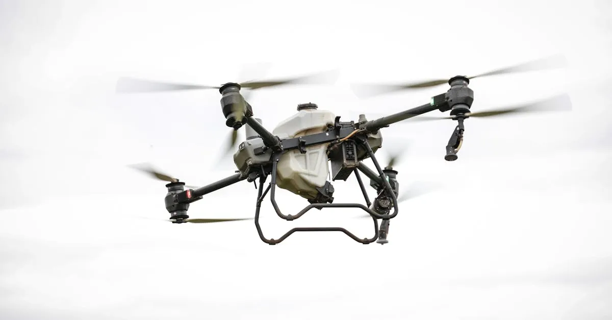
Drone Mapping for Beginners: Complete Guide to Photogrammetry
Photogrammetry turns hundreds of drone photos into accurate 3D models and maps. Here's how the process works from start to finish.
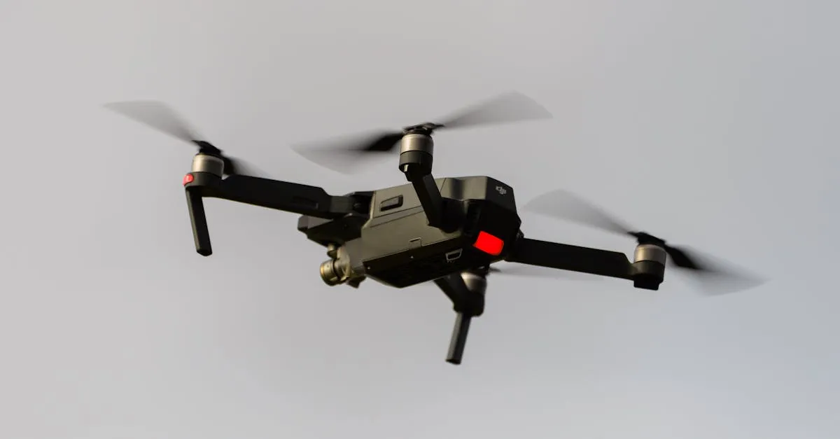
Drone Surveying vs Mapping: What's the Difference
Surveying is measurement-focused. Mapping is visual representation-focused. They overlap but serve different purposes — here's exactly where the line is drawn.
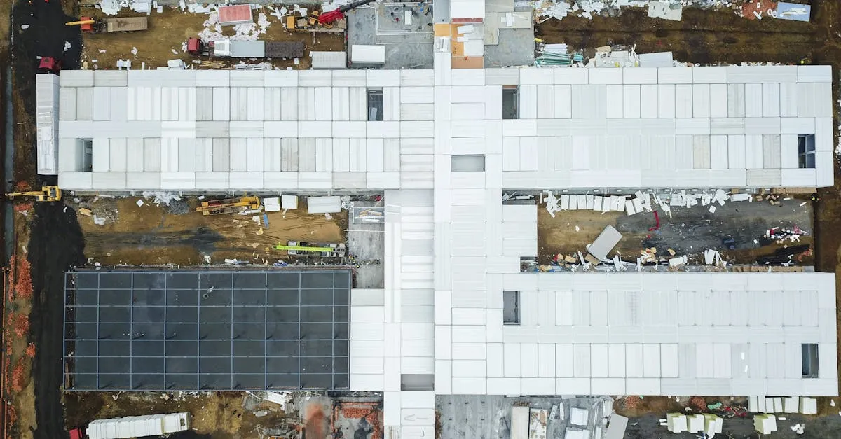
Construction Drone Monitoring: Complete Workflow and Pricing
Construction companies need weekly aerial data — progress photos, orthomosaics, and 3D models. Here is the complete workflow, deliverables, and pricing guide.
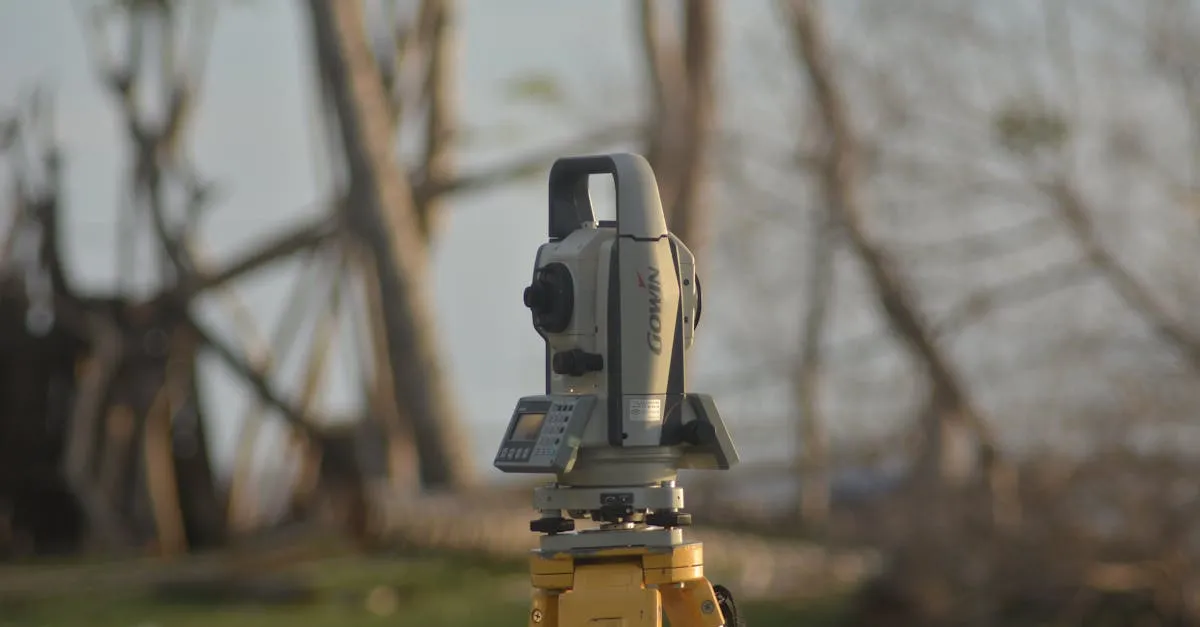
How to Start a Drone Surveying Business: Complete Guide
Drone surveying has a higher barrier to entry than photography — and that's exactly why it pays so much more. Here's how to break in.