Drone Volume Calculations: How to Measure Stockpiles
Drones measure stockpiles faster, safer, and more accurately than ground surveys. Here's how volumetric calculations work.
Drones revolutionize stockpile measurement by using aerial photogrammetry to generate 3D models and calculate volume against a virtual base plane. This method is faster, safer, and more accurate than traditional ground surveys, especially when combining RTK drones with ground control points for precise inventory tracking.
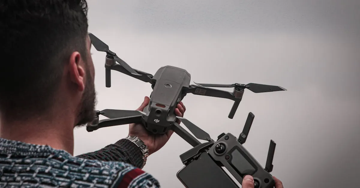
Calculating stockpile volume used to mean walking around massive piles of dirt, gravel, or coal with a GPS rover — dodging heavy machinery, taking hours. Drones have completely changed this. Aerial photogrammetry delivers accurate volume calculations in minutes, keeping personnel safely away from active sites.
How It Works
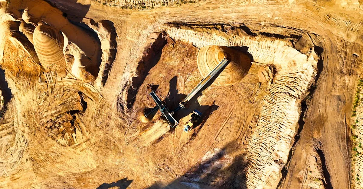
A drone flies over a stockpile capturing hundreds of overlapping images. Photogrammetry software identifies common points across photos and triangulates exact 3D coordinates, generating a dense point cloud. This becomes a Digital Elevation Model (DEM) mapping every peak and valley.
To calculate volume, the software defines a base plane — a virtual surface representing ground level. It measures the space between this base plane and the 3D surface of the stockpile.
Types of Volume Calculations
Stockpile Volume: Measures material above a defined surface. Used for sand, gravel, coal, grain, mulch.
Cut/Fill Volume: Compares a current drone survey against a planned design surface. Calculates where ground is higher than design (cut — remove material) and lower (fill — add material). Essential for grading and site preparation.
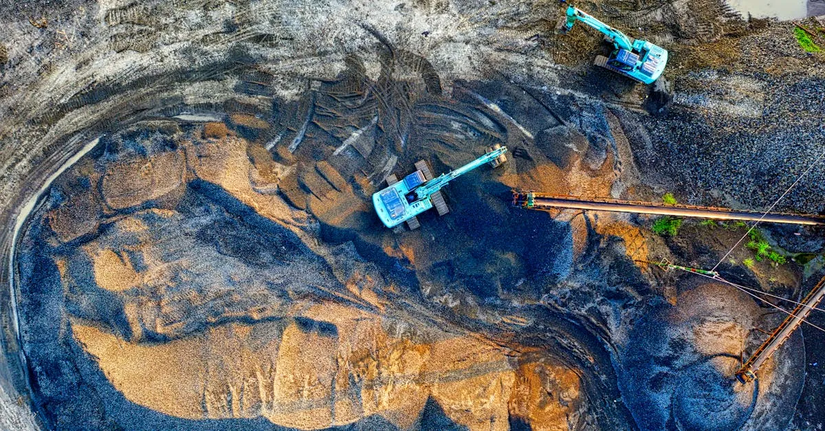
Excavation Volume: Measures empty space below ground level — foundation digs, trenches, mining pits. Calculates how much material has been removed.
Flight Tips for Accuracy
Fly low and slow. Ground Sampling Distance (GSD) determines resolution. For stockpiles, fly 50-100 feet AGL to balance detail and battery life.
Use high overlap. At least 80% front and 70% side overlap. Stockpiles have steep, uniform faces that confuse software without enough overlapping data.
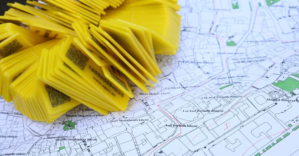
Deploy GCPs. Standard drone GPS isn’t accurate enough for volumetrics. Place visible targets around the perimeter, surveyed with RTK GPS. This anchors your 3D model to real-world coordinates.
Capture the base. Cover the area immediately surrounding the pile. The software needs surrounding topography to calculate an accurate base plane.
Industries Using Drone Volumetrics
- Mining and aggregates — Monthly inventory of ore, coal, and aggregate stockpiles
- Construction — Earthworks progress tracking, grading verification
- Waste management — Landfill capacity tracking, compaction rates
- Agriculture — Grain silos, feed and fertilizer stockpiles
- Landscaping — Mulch, topsoil, and snow inventory verification
Accuracy Comparison
| Method | Time (1 acre) | Volume Accuracy | Position Accuracy | Safety |
|---|---|---|---|---|
| Walking wheel/tape | 1-2 hours | 10-20% error | N/A | High |
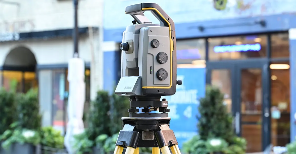
| GPS rover/total station | 2-4 hours | 2-5% error | ~1.5cm | Medium |
| Drone (no GCPs) | 15-20 min | 1-3% error | 1-3m | Very low |
| RTK drone + GCPs | 30-45 min | under 1% error | ~3cm | Very low |
An RTK drone with GCPs matches or exceeds traditional GPS rover accuracy while cutting field time dramatically and removing surveyors from hazardous environments.
Frequently Asked Questions
What is a base plane in drone volumetrics? A virtual surface representing ground level beneath a stockpile. The software calculates volume by measuring the 3D space between this plane and the actual material surface.
How does cut and fill differ from stockpile measurements? Cut and fill compares current survey against a planned design surface rather than just measuring material above ground. Cut identifies areas needing removal, fill indicates where material must be added.
Why is high image overlap necessary for stockpiles? Stockpiles have steep, uniform faces that confuse photogrammetry software. At least 80% front and 70% side overlap provides enough redundant data for accurate triangulation.
What role do GCPs play in volumetric accuracy? Standard drone GPS isn’t accurate enough for reliable calculations. GCPs anchor the 3D model to exact real-world coordinates, ensuring measurement reliability.
At what altitude should I fly for stockpile data? Between 50 and 100 feet AGL to balance image resolution and battery life. This low and slow approach provides fine GSD crucial for capturing detailed surface variations.
How does drone accuracy compare to traditional GPS rover? RTK drone with GCPs achieves under 1% volume error and roughly 3cm position accuracy. Drones complete an acre survey in 30-45 minutes compared to 2-4 hours on foot. Learn the complete volumetric workflow — flight planning, data processing, and client delivery — in our free Drone Mapping course.