Drone Construction Services
The complete guide to providing drone services for construction sites. From pre-construction surveys to progress monitoring, earthwork analysis, and thermal inspections.
Construction Industry Fundamentals
Why Construction Needs Drones
Construction projects run on data. Drones deliver that data faster, safer, and more frequently than any ground-based method.
Pre-Construction Aerial Surveys
Before ground breaks, developers and engineers need accurate site data. Aerial surveys provide topographic maps, boundary verification, and site selection imagery.
Data Collection and Analysis
Earthwork and Grading Analysis
Moving dirt is expensive. Drone elevation models calculate cut and fill volumes that determine how much material to move and where it goes.
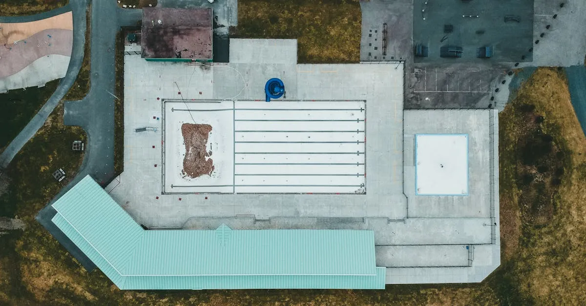
Progress Monitoring Techniques
Regular aerial flights create a visual timeline of construction progress. Here is how to capture consistent, comparable data that project managers trust.
Deviation and Issue Detection
Construction rarely goes exactly to plan. Drone data catches deviations from design early, before they become expensive rework.
3D Modeling for Construction
Photogrammetric 3D models help architects and engineers verify that what got built matches what was designed. Here is how to produce models they can use.
Operations and Business
Safety and Site Access
Construction sites are hazardous environments with strict safety rules. Here is what you need to know before flying on any job site.
Pricing and Contracts
How to price construction drone services, structure contracts, and win repeat business from general contractors.
Building Your Construction Client Base
How to find construction clients, pitch your services, and turn demo flights into long-term contracts.