Pre-Construction Aerial Surveys
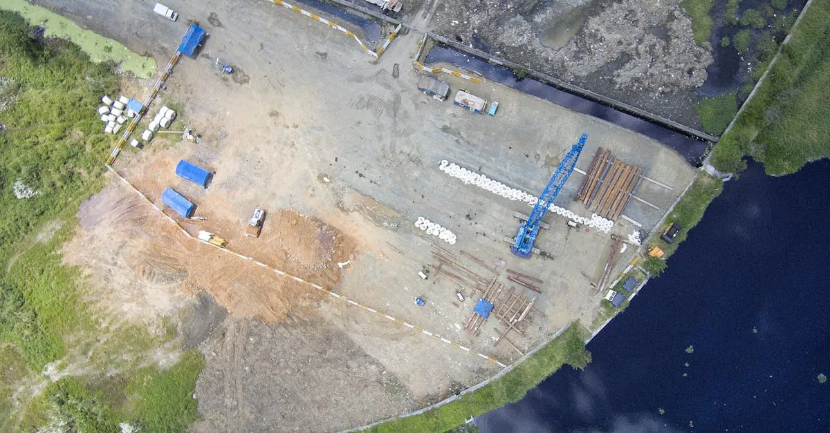 A construction project starts long before the first shovel hits dirt. Architects need terrain data to design the building. Engineers need elevation information to plan drainage. Developers need aerial views to evaluate whether a parcel is worth buying. All of this data comes from pre-construction surveys.
Site Selection Imagery
Real estate developers evaluate multiple parcels before committing to a purchase. Aerial imagery helps them assess:
- Topography and drainage patterns
- Proximity to roads, utilities, and existing development
- Vegetation and tree coverage that will need clearing
- Adjacent land uses that might affect the project
A single drone flight over a potential site produces imagery that answers these questions. Package it as a PDF report with annotated markers showing key features. Developers pay $200-500 for this service per site.
Topographic Mapping
Topographic surveys show the shape of the land: hills, valleys, slopes, and flat areas. Engineers use this data to design foundations, road grades, and stormwater management systems.
Traditional topographic surveys require a survey crew with total stations or GPS rovers walking the entire site. This takes days and costs thousands of dollars. A drone mapping flight covers the same area in hours, and the resulting elevation model provides data at a resolution that ground surveying cannot match practically.
Flight Parameters for Topo Surveys
Fly at 60-80 meters altitude for a ground sampling distance (GSD) of 1.5-2 cm per pixel. Use 75-80% front overlap and 65-70% side overlap. Place ground control points if the project requires centimeter-level accuracy.
Process the images through photogrammetry software to generate a digital elevation model (DEM). Export contour lines at 1-foot intervals for engineering use. Deliver the orthomosaic and DEM as GeoTIFF files that import directly into CAD software.
Boundary Verification
Property boundaries on paper do not always match reality. Fences drift. Old markers disappear. Neighbors encroach. Drone imagery overlaid on property records reveals discrepancies before construction begins.
This is not a substitute for a licensed land survey. But it provides a visual check that catches obvious issues early, when they are easy to resolve.
Pricing Pre-Construction Surveys
Small residential lots (under 1 acre): $300-600 Commercial parcels (1-10 acres): $500-1,500 Large development sites (10-50 acres): $1,500-5,000
The price depends on area size, accuracy requirements, and deliverable complexity. Sites requiring GCP placement and RTK accuracy command the higher end of these ranges.