Reading Weather for Drone Pilots
Weather kills more drone flights than any other factor. Knowing how to read aviation weather reports tells you when to fly and, more importantly, when to stay on the ground.
Your Go/No-Go Thresholds
Part 107 requires minimum visibility of 3 statute miles and cloud clearance of 500 feet below, 2,000 feet horizontally. For practical drone flying, add your own safety margins:
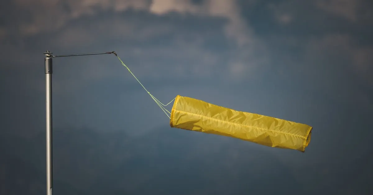
- Wind: Under 15 mph sustained, under 20 mph gusts. Above that, small drones struggle to hold position and footage quality suffers.
- Precipitation: None. Even light rain damages electronics and makes props less effective.
- Temperature: 32-95 degrees Fahrenheit. Below freezing drains batteries fast. Above 95 risks overheating.
- Cloud ceiling: At least 500 feet above your planned flight altitude.
Do not fly in thunderstorms, ever. Lightning can strike a drone from miles away from the visible storm. If you hear thunder, you are close enough to be at risk.
Reading a METAR
METARs (Meteorological Aerodrome Reports) are the standard aviation weather format. They look cryptic at first but follow a consistent pattern.
Example: KPHX 041651Z 12008KT 10SM FEW060 SCT100 35/18 A2992
Breaking it down:
- KPHX: Phoenix airport station
- 041651Z: 4th day of month, 16:51 UTC
- 12008KT: Wind from 120 degrees at 8 knots
- 10SM: 10 statute miles visibility
- FEW060 SCT100: Few clouds at 6,000ft, scattered at 10,000ft
- 35/18: Temperature 35C, dewpoint 18C
- A2992: Barometric pressure 29.92 inHg
Find METARs at aviationweather.gov or through apps like UAV Forecast that translate them into plain English.
TAFs for Planning
TAFs (Terminal Aerodrome Forecasts) predict weather for the next 24 hours at major airports. Use them to plan flights hours or days ahead. If the TAF shows winds gusting to 25 knots at 2pm, schedule your morning flight earlier.
Density Altitude
In summer at high elevations, density altitude reduces drone performance. The air is thinner, so props generate less lift and batteries drain faster. If you are flying in Phoenix in July at 2,000 feet elevation, your effective altitude is much higher than your GPS reads. Reduce flight times by 20% in hot, high conditions.
Check Multiple Sources
Never rely on a single weather source. Check aviationweather.gov, your phone’s weather app, and look outside. If the reports say clear skies but you see building cumulus clouds, trust your eyes. Weather changes faster than forecasts update.